Hiking Near Toulouse
Toulouse is an inland city on the Garonne, and the Pyrenees sit roughly 100 km to the south, which puts everything from riverside strolls to real mountain walking within reach of a single day.
Short answer
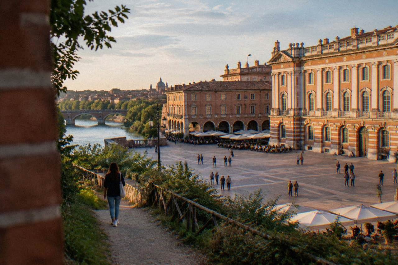
Hiking near Toulouse splits into two worlds: flat, waterside walking inside the city along the Garonne and the Canal du Midi, and mountain day trips to the Pyrenees roughly 100 km south. The city itself is the warm-up, the mountains are the reward, and a car, a coach tour or a direct train covers the gap between them.
The Pyrenees sit roughly 100 km south of Toulouse, the pink-brick "La Ville Rose" on the Garonne in the Occitanie region of southwestern France, which puts genuine mountain walking within a day trip of a city better known for aerospace and cassoulet. The commune counted 514,819 inhabitants at the last INSEE figure, and none of them live anywhere near a coastline: Toulouse is inland, so the walking here is riverbanks, canal towpaths and hill towns, never a seaside promenade. This guide on Toulouse Travel Guide covers what hiking near Toulouse actually means, season by season, with the city itself as the flat warm-up and the mountains as the reward.
What Does Hiking Near Toulouse Actually Look Like?
Hiking near Toulouse means two distinct layers of terrain: the flat, waterside walking inside and around the city, on the Garonne banks and the tree-lined towpaths of the Canal du Midi, and the mountain country of the Pyrenees roughly 100 km to the south, reached as a day trip by car, coach or train. There is no coastal walking anywhere near the city, because Toulouse sits inland on the Garonne and the canal.
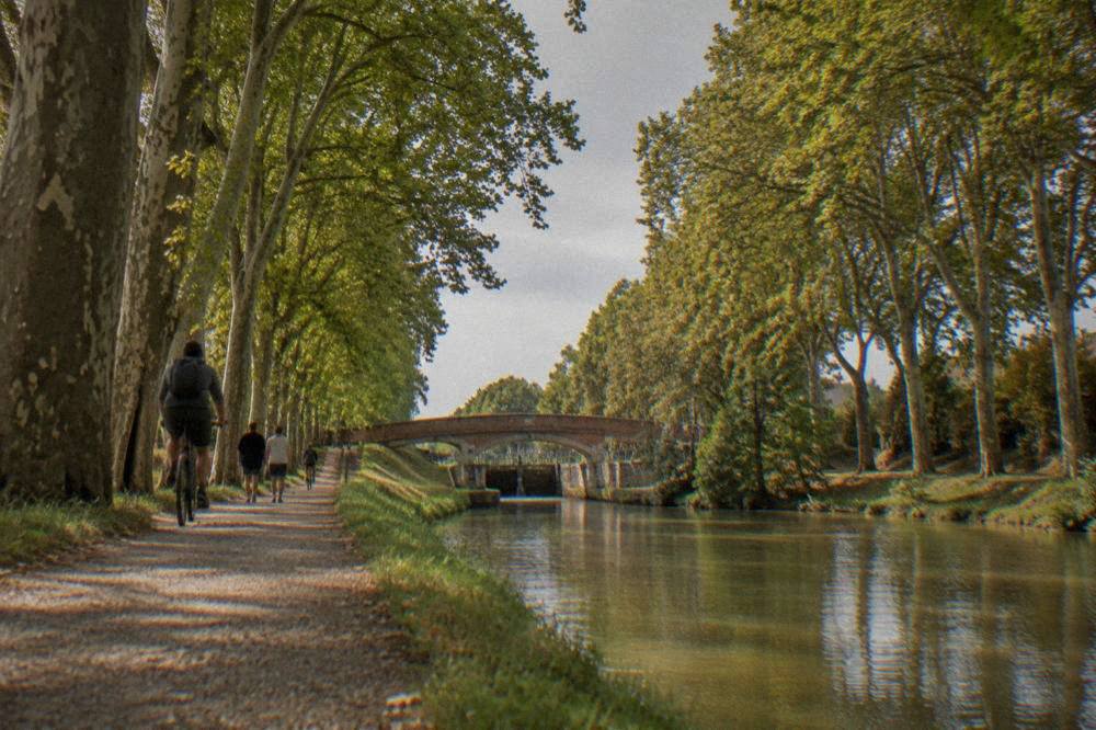
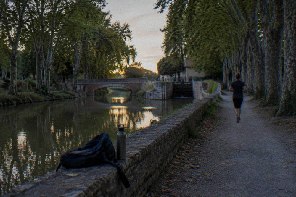
The first layer costs nothing and takes no planning. The Garonne runs through the middle of the city, and its banks form a continuous walking corridor that locals use for running, cycling and evening strolls. The Canal du Midi, inscribed on the UNESCO World Heritage list in 1996, meets the Garonne in Toulouse, and its towpaths stretch out of the city in both directions under plane trees. A towpath walk is flat, shaded and impossible to get lost on, which makes it the default answer for anyone who wants to move their legs without committing to a mountain day.
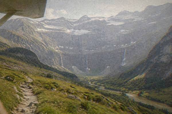
The second layer is the one that surprises visitors who arrive expecting a flat southern city. The Pyrenees are close enough that a hiker based in Toulouse can be on mountain trails and back the same evening, and several of the region's most dramatic hill towns, such as those covered on the day trips from Toulouse guide, reward the walk up as much as the view from the top. Between those two extremes sit the middle options: the rolling countryside of the surrounding departements, vineyard routes, and riverside paths that need half a day rather than a full one.
The honest framing matters here. Everything below leans on what official sources state rather than on remembered trails: Meteo-France's 1991-2020 climate normals for Toulouse-Blagnac for the seasons, the Tisseo catalogue for fares, and the tourist office's own pages for what the city offers. Where a figure was not confirmed on an official page, this guide stays silent rather than guessing.
Where Can You Walk Inside Toulouse Itself?
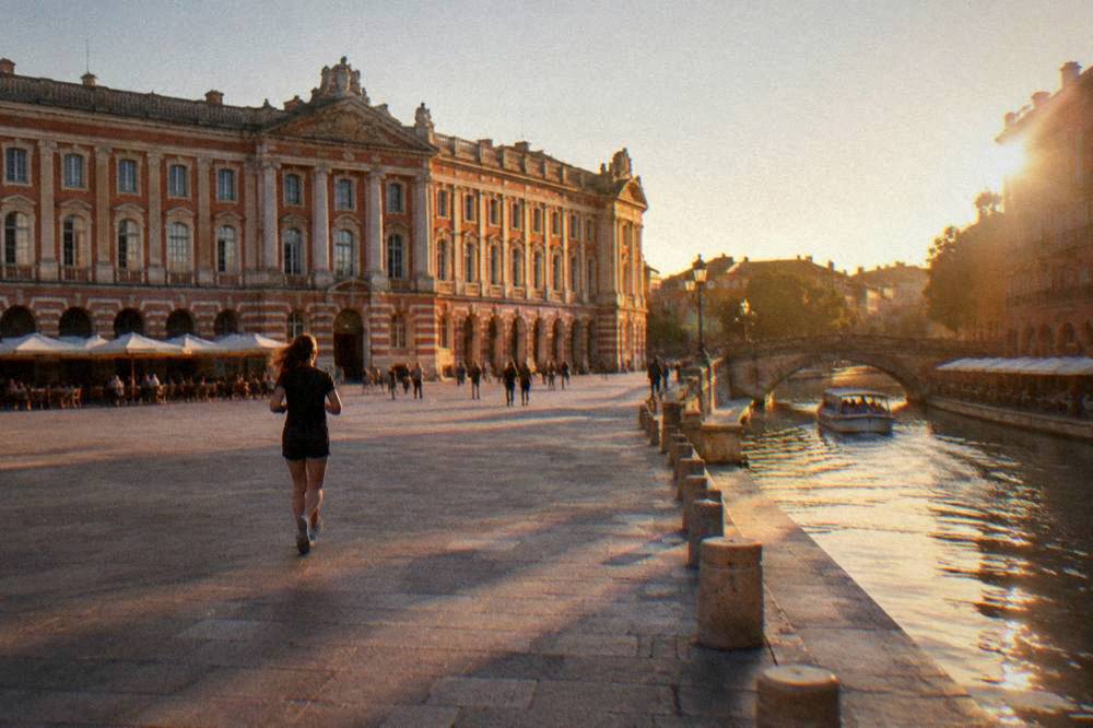
The three walking backbones inside Toulouse are the Garonne riverside, the Canal du Midi towpaths, and the city's parks and gardens, all of them flat, free and open without any booking or equipment. The Garonne banks and the canal towpaths together give a walker hours of continuous, signposted, waterside walking without ever leaving the city, and the pink-brick historic center links them together.
Start on the river. The Garonne divides Toulouse into two halves, and both banks carry paths; the Pont Neuf, the city's oldest bridge, is the natural turnaround point for a first riverside loop, and the water level beneath it moves fast enough after rain that the towpaths are the safer choice on wet days. The riverside walk also passes the Dome de la Grave and the hospital buildings on the left bank, so the stroll doubles as an architecture tour.
The canal is the second backbone. The Canal du Midi begins (or ends, depending on your direction) in Toulouse, and its towpath is the closest thing the city has to a purpose-built hiking trail: flat, straight, shaded by mature plane trees, and continuous well beyond the city limits. Walkers who want a longer outing simply follow the towpath out of town and turn back when they have had enough, and cyclists cover the same route on two wheels; the site's coverage of getting around Toulouse explains the transport options for getting back to the center.
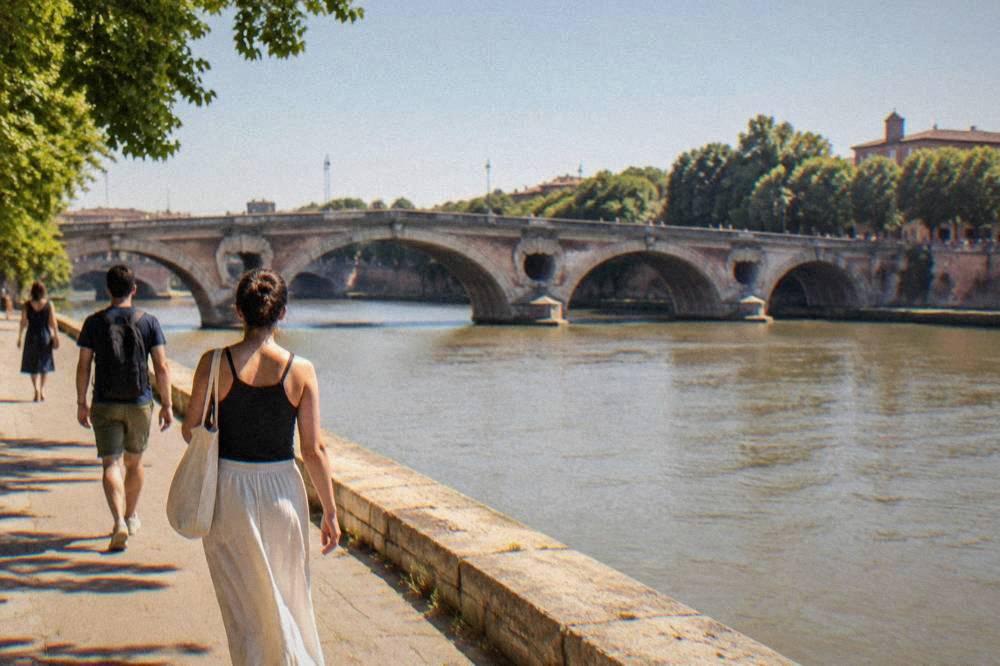
The third layer is green space. Toulouse's parks and gardens include the Japanese Garden and the Jardin des Plantes, both of them compact, ornamental and better suited to a slow wander than a workout, but pleasant links in a longer route across the city. For visitors who want the city's walking explained rather than discovered, a guided option exists: the historic center can also be seen from the water, and the Discovery Cruise Tour of the Historic Center of Toulouse covers the same riverside geography from a boat deck, with Check availability on the operator's live listing if the legs need a rest day.
For a self-guided version, the tourist office's Pass Tourisme page lists a free guided tour from the office among its inclusions, which is a walking tour of the center rather than a hike, but it maps the pink-brick core that every longer route passes through. The pass costs EUR 26 for stays of one to three days, and the office's own page states it pays off from the third activity.
When Is The Best Time Of Year For Hiking Near Toulouse?
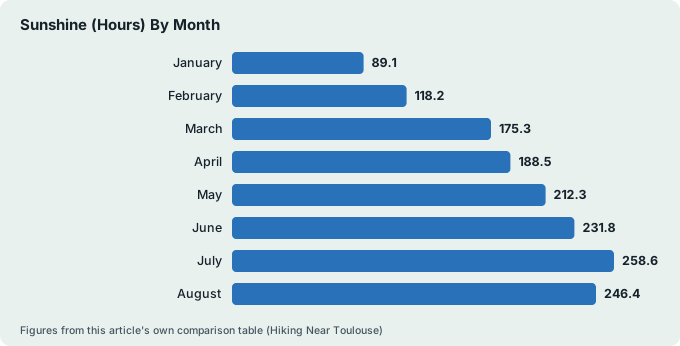
The best months for hiking near Toulouse are late spring and early autumn: May through June and September combine warm mean temperatures of 16.4 to 20.3 C with manageable rain, while July and August, the sunniest months at 258.6 and 246.4 hours, bring 11.5 and 11.3 days a year above 30 C that make midday mountain walking punishing. Winter walking is possible but colder, with a January mean of 6.3 C.
Those figures come from Meteo-France's 1991-2020 climate normals for the Toulouse-Blagnac station, and they overturn one common assumption: the wettest month in Toulouse is not a winter month. May averages 73.6 mm of rain, almost double February's 37.2 mm, with April at 65.2 mm and June at 64.2 mm close behind. The tap then turns off: July, the sunniest month, receives just 40.1 mm. A hiker planning around the numbers rather than around folklore should expect spring showers, dry high summer, and a September that combines 210.1 hours of sunshine with only 45.7 mm of rain.
| Month | Mean temperature (C) | Rain (mm) | Sunshine (hours) |
|---|---|---|---|
| January | 6.3 | 52.5 | 89.1 |
| February | 7.1 | 37.2 | 118.2 |
| March | 10.3 | 45.3 | 175.3 |
| April | 12.7 | 65.2 | 188.5 |
| May | 16.4 | 73.6 | 212.3 |
| June | 20.3 | 64.2 | 231.8 |
| July | 22.6 | 40.1 | 258.6 |
| August | 22.8 | 44.6 | 246.4 |
| September | 19.3 | 45.7 | 210.1 |
| October | 15.3 | 54.3 | 155.2 |
| November | 9.9 | 55.0 | 99.9 |
| December | 7.0 | 49.3 | 89.7 |
The heat deserves respect. The same normals record an all-time high of 42.4 C, set on 23 August 2023, and the station's records run back to 1947. Days at or above 30 C cluster in July and August, which argues for dawn starts on any serious summer route and for shifting the effort to the shaded canal towpaths during a heatwave. The all-time low, -19.2 C on 15 February 1956, is a reminder that winter in this region can bite too, even if the averages look mild.
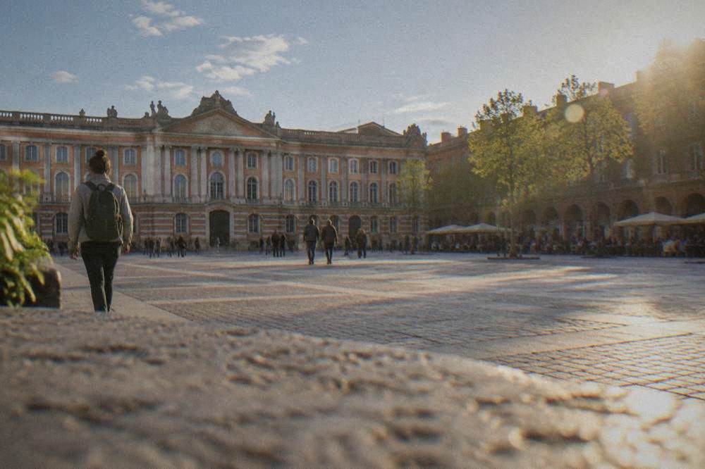
For a fuller seasonal breakdown, including what the monthly numbers mean for sightseeing as well as walking, the best time to visit Toulouse guide and the Toulouse weather guide carry the detail month by month.
Which Day Trips From Toulouse Suit Hikers Best?
The day trips from Toulouse that suit hikers are the Pyrenees, roughly 100 km south for genuine mountain terrain, and the region's hill towns such as Cordes-sur-Ciel, Albi's riverside country and the valleys of the Tarn and the Ariege, all reachable as organized coach tours or by car. None of them require an overnight stay, and the hill towns in particular reward walkers who arrive on foot rather than by parking at the top.
The mountain option is the headline. The Pyrenees rise roughly 100 km south of the city, and the region's spa and walking towns make practical bases or turnaround points for a day in the hills; the site's Pyrenees guide covers the range in depth. What this page will not do is invent a trail: no verified route distances, ascent figures or walking times for specific Pyrenean paths sit in the sources behind this site, so the honest advice is to pick the valley first, then get the route from the local tourist office on arrival.
The hill towns are the sweeter option for casual hikers. Cordes-sur-Ciel is a medieval bastide built on a hilltop, and the walk up through its streets is the whole point of the visit. Albi pairs a UNESCO-listed cathedral with river country around it. Further afield, Rocamadour clings to a cliff face in a way that makes its stairs a genuine hike, and Saint-Cirq-Lapopie perches above the Lot; the site carries dedicated guides to all of these, linked from the day trips from Toulouse overview.
| Destination | Terrain for a walker | Why hikers like it |
|---|---|---|
| The Pyrenees | Mountain paths roughly 100 km south | Real ascent, cooler air, full-day scale |
| Cordes-sur-Ciel | Steep medieval streets to a hilltop | The climb is the sight itself |
| Albi | Riverside and rolling country | Flat options plus a UNESCO cathedral |
| Rocamadour | Cliff-side stairways | Dramatic vertical walking |
| Saint-Cirq-Lapopie | Hilltop village above the Lot | Village walk plus valley views |
| The Gaillac wine route | Gentle vineyard lanes | Walking and tasting combine easily |
If the planning overhead of a self-drive mountain day feels heavy, an organized day trip removes it entirely. The Toulouse day trip to Albi and Cordes-sur-Ciel covers two of the table's rows in one outing, with audio guides at each stop:
The same logic applies to the river: a walker who has spent the morning on a towpath can trade the boots for a boat deck in the evening, and the historic center cruise covers the Garonne and the canal from the water. It is the natural recovery-day pairing for a hiking trip, and the box below shows the current listing.
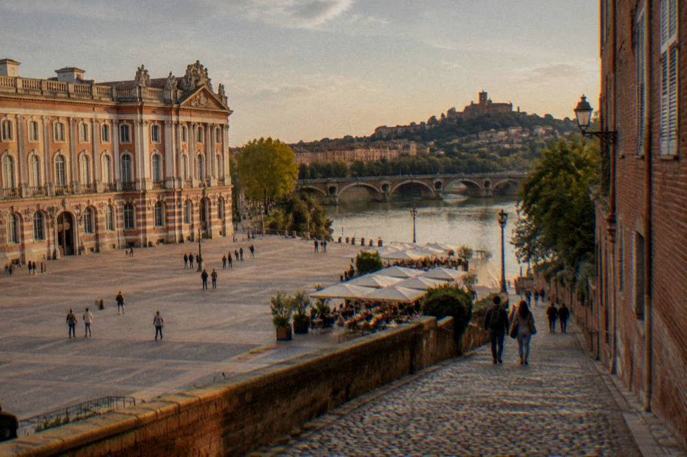
How Do You Reach The Trailheads Without A Car?
A hiker without a car reaches Toulouse's walking country by metro, tram and bus inside the city using Tisseo tickets, by the Navette Aeroport or coach tours for anything further out, or by rental car for the Pyrenees and the hill towns, where public transport coverage thins out. A single Tisseo trip costs EUR 1.90, a day pass EUR 7.20, and a 3-day pass EUR 14.30, per the official Tisseo catalogue.
For the Pyrenees and the hill towns, book a rental car here.
The city layer is easy. Tisseo's own e-boutique catalogue lists every fare a visitor needs, and the prices below are copied from it: the towpaths and riverside are reachable on ordinary urban tickets, and the day pass covers a full day of walking out along the canal and riding back.
| Tisseo ticket | Price | What it covers |
|---|---|---|
| Single trip | EUR 1.90 | One journey, metro, bus or tram |
| Single bought on board | EUR 2.50 | Last-minute purchase penalty |
| 10 trips | EUR 16.00 | Ten journeys, shareable planning |
| Day pass | EUR 7.20 | Unlimited travel for one day |
| 3-day pass | EUR 14.30 | Unlimited travel for three days |
| Airport single | EUR 9.50 | Tisseo network plus Navette Aeroport |
The airport connection matters to hikers arriving by plane, and one detail trips up anyone using an older guide: the tram line T2 to Toulouse-Blagnac airport has been closed since 5 June 2023 and stays closed until the end of 2026 because of the metro Line C works. The replacement is the Navette Aeroport bus, which the airport's own page says runs one departure every 15 minutes and takes 20 to 40 minutes to the center. The site's Toulouse airport to city center guide carries the full breakdown.
Beyond the city, the calculus changes. Trains run from Toulouse-Matabiau to towns across the region, and this site does not print journey times for them because none were confirmed on a readable official page; say only that the towns above have stations and check times with the operator. For the Pyrenees, most walkers find a rental car the practical answer, and the car hire in Toulouse guide covers the options, including pickup at the airport.
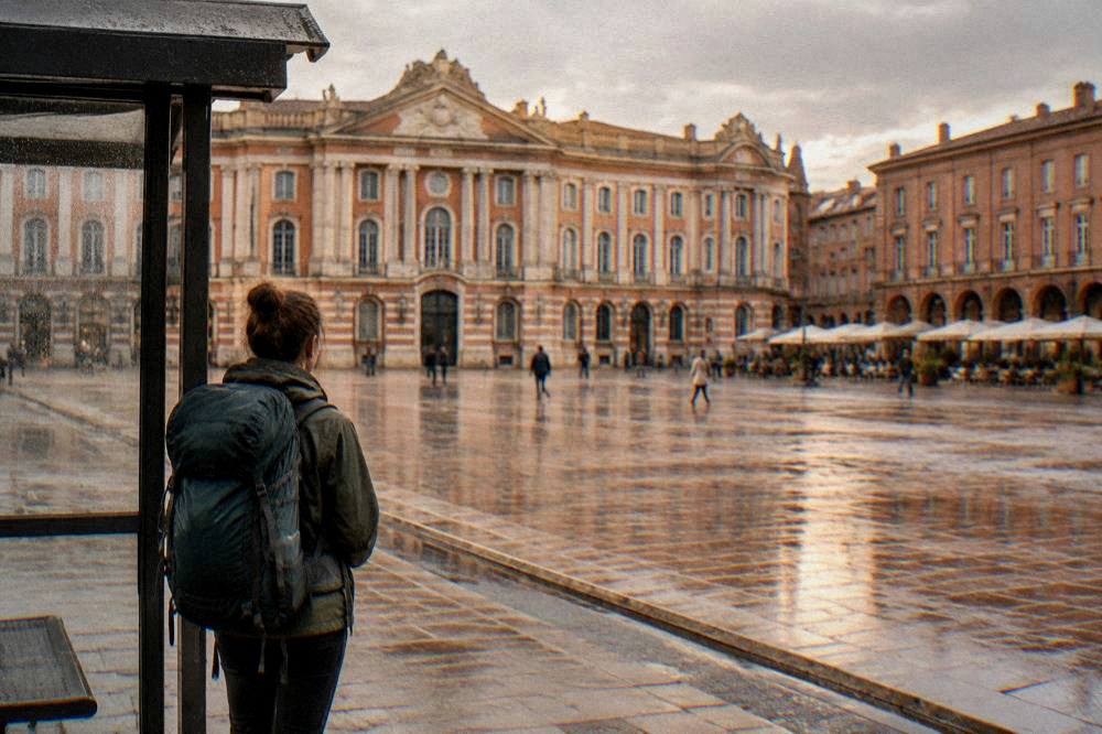
For anyone who would rather not drive at all, two-wheeled and guided alternatives exist inside the city. The panoramic electric bike tour pairs a ride through Toulouse with the Teleo cable car, which lifts passengers over the Garonne valley; the tour's card carries its own price and rating from the operator's listing:
What Should You Pack For A Day On The Trails?
Pack for two climates in one day: the Meteo-France normals show a July mean maximum of 28.2 C against a January mean minimum of 2.9 C, so summer kit means sun protection, more water than feels reasonable and an early start, while spring through autumn calls for rain gear, because May averages 73.6 mm and rain can arrive on 9.9 days in the month. Sturdy shoes matter more on hill town cobbles than on the flat towpaths.
The seasonal logic is simple once the numbers are on the table. Spring is the wettest stretch of the year, so a light shell and a dry layer earn their space from April to June. High summer flips the problem to heat: with 11.5 July days a year reaching 30 C or more, the plan is to walk early, rest at midday and finish the route in the late afternoon. Autumn is the most forgiving window, with September's 19.3 C mean and 210.1 sunshine hours. Winter is quiet, occasionally sharp, and fine for the flat routes.
| Season | Mean temperature (C) | Rain (mm) | What the normals say to pack |
|---|---|---|---|
| March to May | 10.3 to 16.4 | 45.3 to 73.6 | Rain shell, layers, waterproof footwear |
| June to August | 20.3 to 22.8 | 40.1 to 64.2 | Sun hat, high-factor sun cream, extra water |
| September to November | 9.9 to 19.3 | 45.7 to 55.0 | Light layers, one warm layer for evenings |
| December to February | 6.3 to 7.1 | 37.2 to 52.5 | Warm layers, grippy shoes for wet cobbles |
One packing note is specific to this region's walking: the hill towns are paved, steep and old, which is harder on thin soles than a dirt path, and the mountain valleys can turn several degrees colder than the Toulouse-Blagnac station readings that the table above reflects. The station's own records, running from 1947 to mid-2025, include both that 42.4 C high and the -19.2 C low, so the range a hiker might meet across a year in this region is wider than the monthly means suggest.
Do You Need A Guide, Or Can You Hike Independently?
Inside Toulouse and on the canal towpaths, no guide is needed: the routes are flat, obvious and free. For the hill towns and the Pyrenees a guide or an organized tour adds real value, mainly by removing car logistics, and the free GuruWalk walks in the city, such as Harry's Free Tour, cover the historic center on a pay-what-you-want basis, while coach day trips handle the mountain-adjacent destinations.
The city layer genuinely works alone. A first-time visitor can walk the Garonne banks, follow the canal out of town and thread the pink-brick center without any help, and the is Toulouse worth visiting guide covers what that center holds. For structure without cost, the free-walk scene is strong here: Harry's Free Tour, a GuruWalk listing rated 4.92 from 1,149 reviews, runs a three-hour city walk on a tip basis, and GuruWalk also lists a free interactive walk of the Rose City and a free two-hour historical tour. These are city walks rather than hikes, but they orient a visitor's legs before the longer routes.
The further-out layer is where tours earn their price. A coach day trip to Carcassonne or Albi removes the driving, the parking and the route-finding, and the trio below shows the range: a river cruise of the historic center, an immersive 18th-century walk through Toulouse, and the Albi and Cordes-sur-Ciel day trip.
Between those poles sits the middle option: walk independently but pay for one anchored activity. The historic center cruise, this page's featured tour, fits that slot neatly, since a walker can spend the morning on the towpaths and the early evening on the water:
Common Questions About Hiking Near Toulouse
Quick answers to what walkers ask most about hiking near Toulouse.
Are There Real Mountains Near Toulouse?
Yes. The Pyrenees sit roughly 100 km to the south of the city, close enough for a full day trip, and they are the region's genuine mountain walking. Toulouse itself is flat and inland, on the Garonne and the Canal du Midi, so the mountains always mean a day trip out of the city.
Can You Hike The Canal Du Midi From Toulouse?
You can walk the canal's towpaths from inside the city, and they are flat, shaded and continuous well beyond the city limits. The Canal du Midi was inscribed on the UNESCO World Heritage list in 1996. For a longer itinerary, the site's canal coverage explains what a towpath route involves, and no booking or fee is needed to walk it.
What Is The Wettest Month For Hiking Near Toulouse?
May, not a winter month. Meteo-France's 1991-2020 normals for Toulouse-Blagnac put May at 73.6 mm of rain, almost double February's 37.2 mm, with April at 65.2 mm and June at 64.2 mm next. July and August are the driest walking months, at 40.1 and 44.6 mm respectively.
Do You Need A Car To Go Hiking Near Toulouse?
Not for the city and canal walking, which Tisseo tickets cover from EUR 1.90 a trip. For the Pyrenees and most hill towns, a rental car is the practical choice, though organized coach day trips to places like Albi, Cordes-sur-Ciel and Carcassonne remove the driving entirely.
Is Summer Too Hot For Hiking Near Toulouse?
Midday can be. July averages 258.6 hours of sunshine and 11.5 days a year at or above 30 C, with August close behind at 11.3 such days, and the station's all-time record is 42.4 C. The workable summer pattern is an early start, a midday break and a shaded towpath for the flat days.
Where Should You Stay In Toulouse For A Walking Trip?
The historic center puts the Garonne banks, the canal and the pink-brick streets on foot, which covers the city layer of a walking trip entirely. The site's where to stay in Toulouse guide breaks the neighborhoods down, and the riverside and Capitole areas minimize the transport needed before every walk.
The final word is a simple one: Toulouse rewards walkers who match the route to the season, keep the flat city walking for recovery days and treat the Pyrenees, the hill towns and the canal as three separate trips rather than one. Start on the towpath nearest your hotel, work up to a hill town, and save the mountains for the day the forecast is flawless.